|
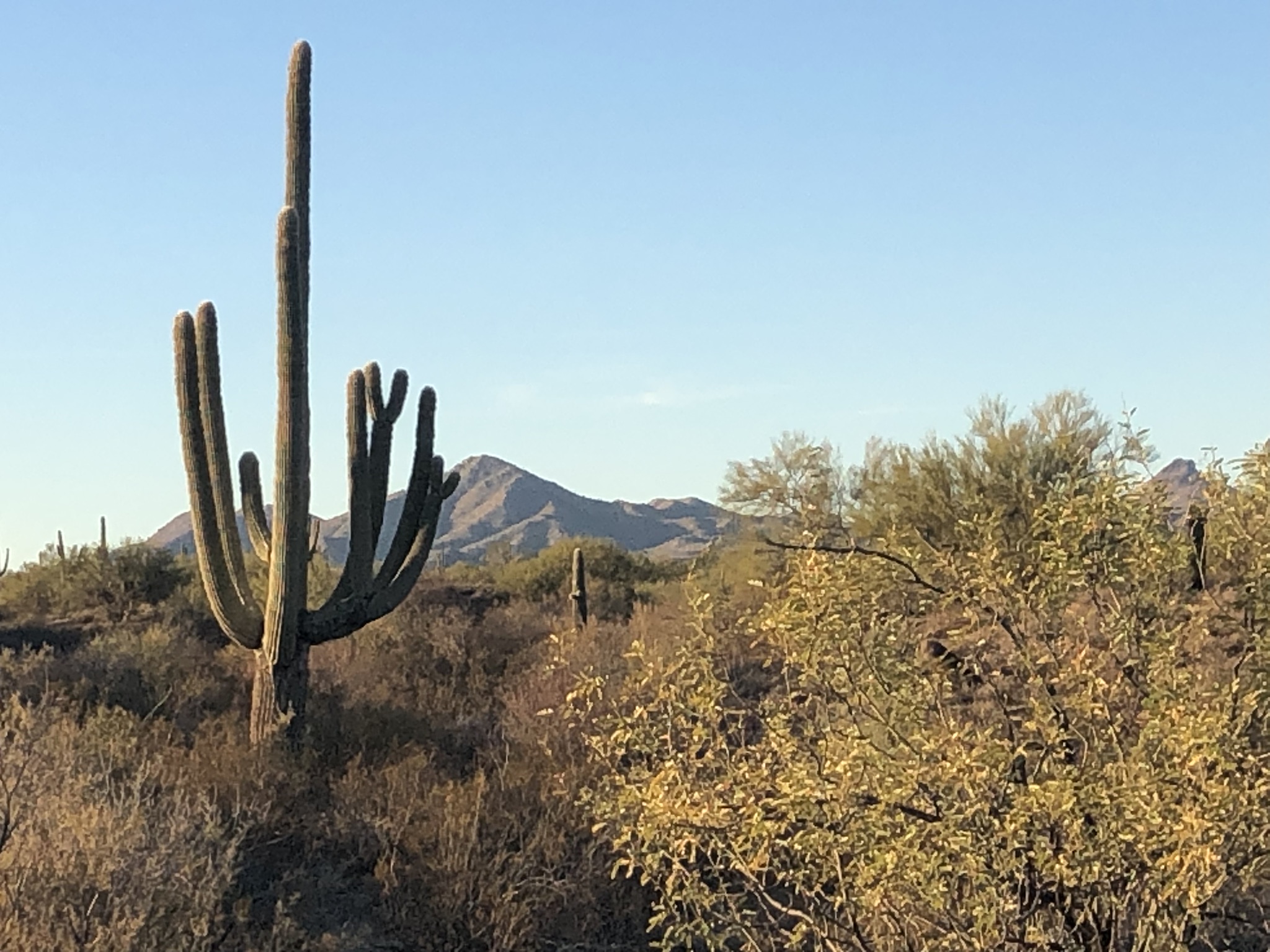
The Boulders event site is located at the Boulders OHV staging area west of Lake Pleasant on AZ-74. The site is on BLM lands in the foothills of the Hieroglyphic Mountains. It's an excellent example of higher Sonoran Desert vegetation with rolling hills and many parallel water drainage features. The site is an active area for off-highway vehicles. Since orienteering involves traveling off-trail between points, it's easy for the two groups to share the area. The landscape is filled with a medium amount of desert vegetation. Some areas are easily runnable while others have forests of cholla and ocatillo to avoid.
|
Directions
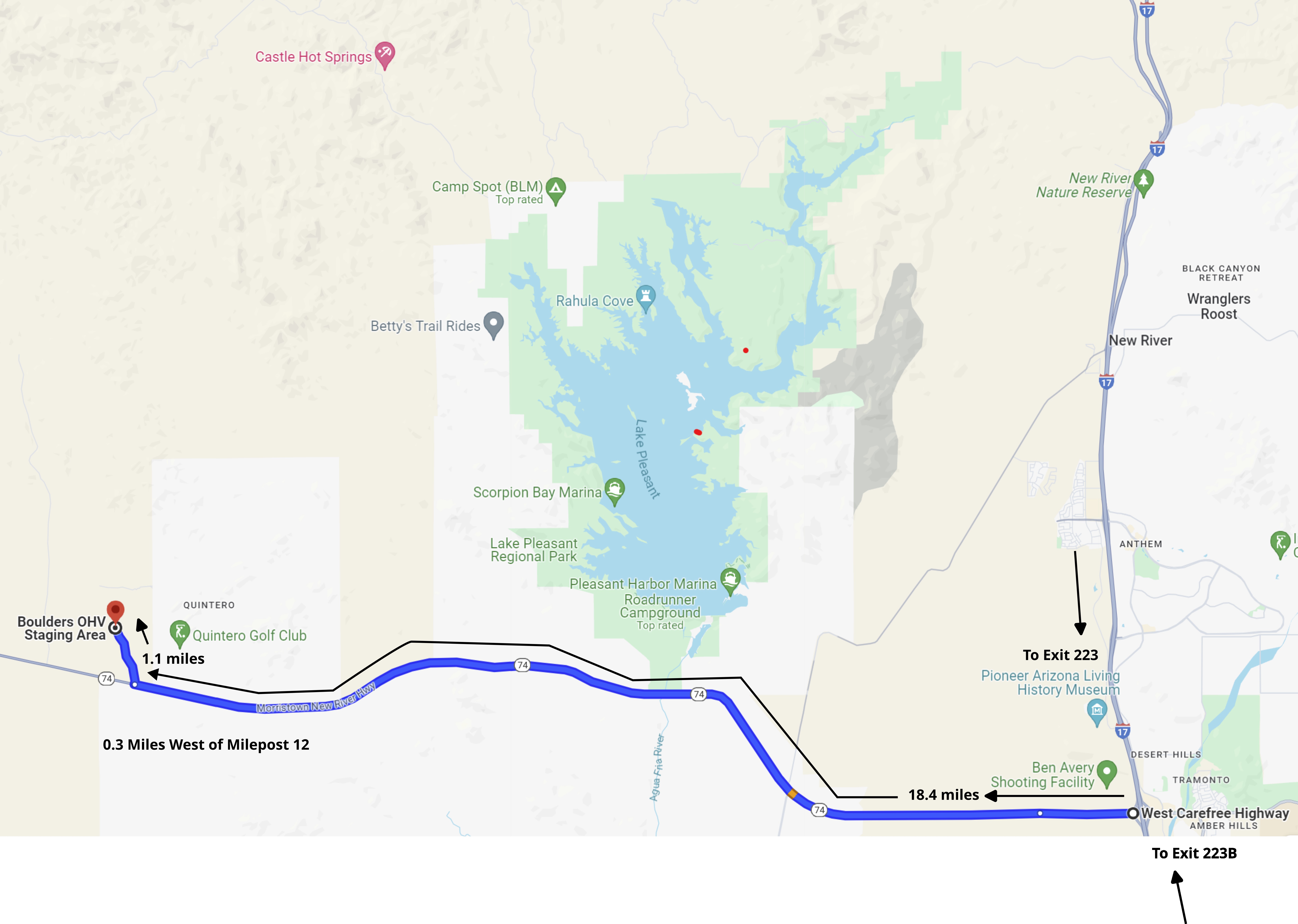
From I-17 and the Carefree Highway Interchange (Exit 223 southbound, Exit 223B northbound):
-
Travel west on AZ-74 for 18.4 miles to the turnoff 0.3 miles west of milepost 12.
-
Turn north and travel on the improved gravel road 1.1 miles to the Boulders OHV Staging Area. Look for the orange and white orienteering signs. Depending on space available, we plan to start near the outdoor restroom facilities.
|
Maps
Click on a map below to open an equivalent Google map in a separate window.
|
Boulders Event Site from I-17/Carefree Highway Exit
|
|