|
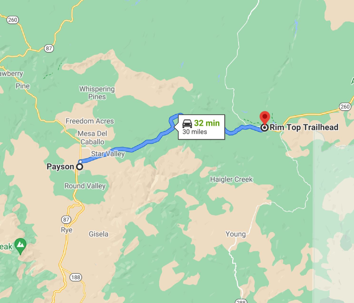
The Rim Top Trailhead is located on AZ 260 about 30 miles east of Payson, AZ. The trailhead is at the edge of the Mogollon Rim, a 200-mile long plateau marking the southwestern edge of the Colorado Plateau. The Mogollon Rim overlooks pine forest approximately 2000 feet below. The Rim Top Trailhead offers access to some of the more beautiful vistas in all of Arizona. We hope you get an opportunity to join us for some navigation fun in this scenic part of Arizona.
|
Directions from Payson and Heber-Overgaard
The Rim Top Trailhead is located on AZ 260 approximately 30 miles east of Payson, AZ.
The trailhead is located on AZ 260 approximately 25 miles west of Heber-Overgaard, AZ.
To get to the event site:
|
From Payson:
|
-
Follow AZ 260 east of Payson approximately 30 miles to the turnoff for Woods Canyon Lake (Rim Road), just east of milepost 282.
-
Turn north on Rim Road and continue 0.2 miles to the Rim Top Trailhead on the north side of the road.
|
|
From Heber-Overgaard:
|
-
Follow AZ 260 west of Heber-Overgaard approximately 25 miles to the turnoff for Woods Canyon Lake (Rim Road), just west of milepost 283.
-
Turn north on Rim Road and continue 0.2 miles to the Rim Top Trailhead on the north side of the road.
|
![[image:O flag]](../Images/Directions.png) Google Map Directions from Payson
Google Map Directions from Payson
Google Map Directions from Heber-Overgaard
![[image:O flag]](../Images/Map_pin_icon.png) Google Map Placemark
Google Map Placemark
|
Maps
Click on a map below to open an equivalent Google map in a separate window.
|
From Payson, AZ
|
|
|
From Heber-Overgaard, AZ
|

|
|