Saguaro Lake
Near the Beeline Highway/Bush Highway Junction
![[image:O flag]](../Images/Map_pin_icon.png) Google Map Placemark
Google Map Placemark
![[image:O flag]](../Images/FirstAid.png) Safety Plan
Safety Plan
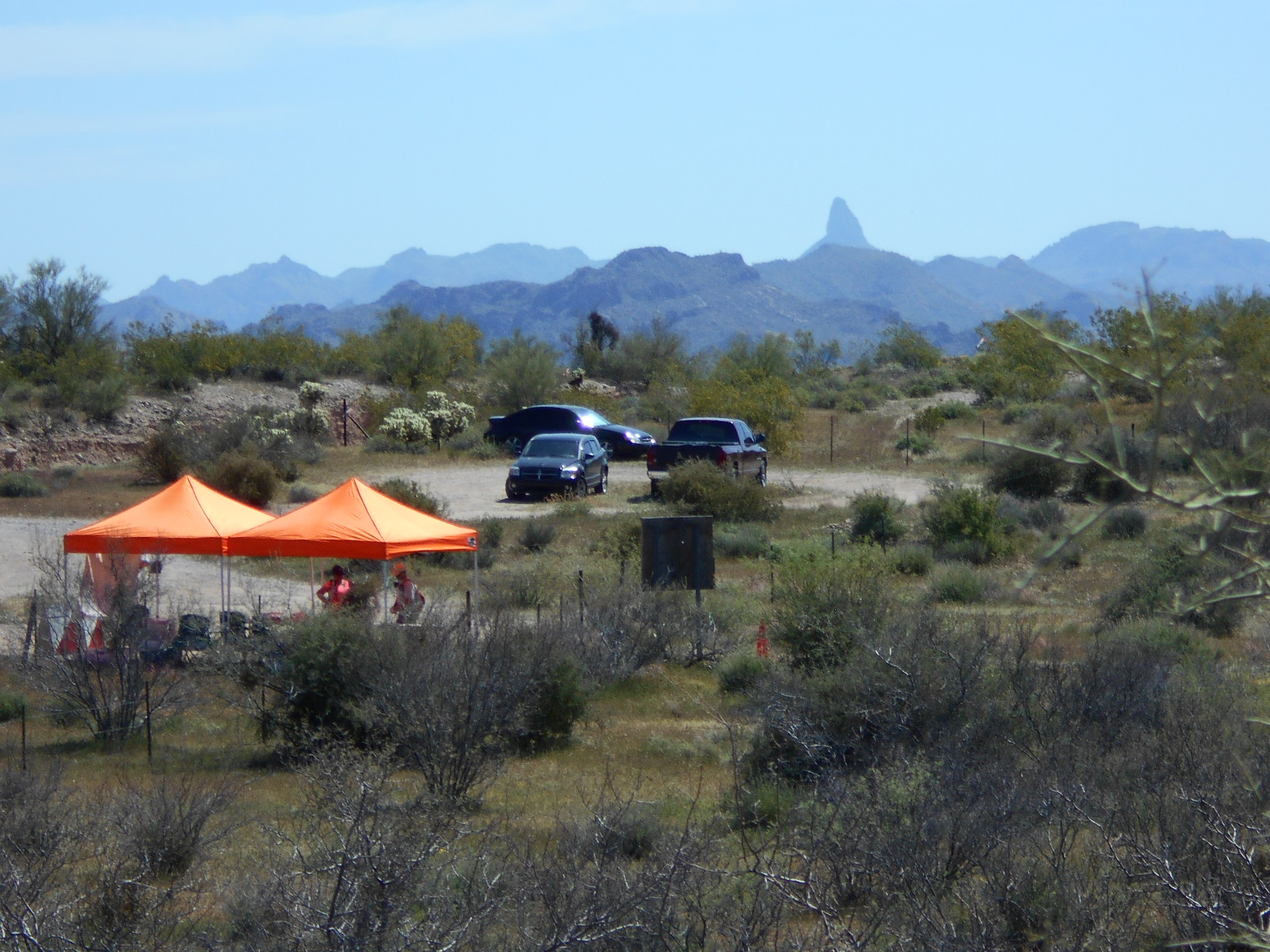
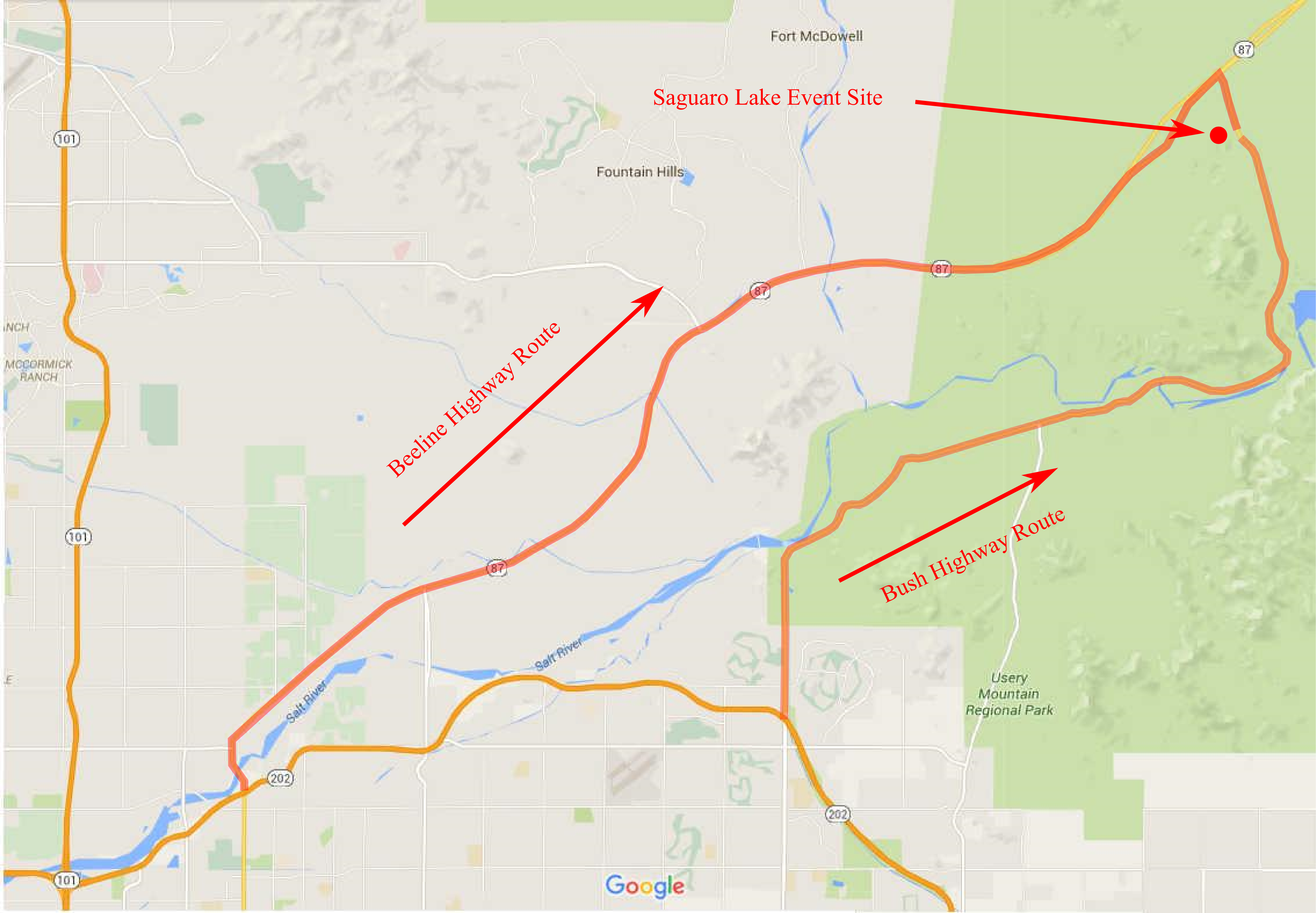
The Saguaro Lake event site is located just south of the intersection of the Beeline Highway (AZ 87) and the Bush Highway. The site includes a wide variety of desert landscapes to explore including wide stream beds, rolling hills, and several canyons. The desert vegetation varies from sparse and open with little to impede your progress to thick and dense cactus and brush. We've had the pleasure to host many years of orienteering events here. We know you'll enjoy visiting the area more on your own.
Directions
There are two routes to get to the Saguaro Lake event site: the Beeline Highway (AZ 87) and the Bush Highway. The Beeline Hwy is 4 lanes and more direct but is not very scenic. The Bush Hwy is 2 lanes and winding with incredible scenery once you get past north Mesa.
- Via the Beeline Highway (AZ 87)
-
From the Loop 202 and Country Club (exit 13), go northeast on the Beeline Highway for 22 miles to exit 199, the "Saguaro Lake, Lower Salt River Recreation Area" exit. After exiting the Beeline Highway, turn south and travel 0.2 miles to the event site. Look for an orange and white orienteering "sandwich board" on the west side of the road.
- Via the Bush Highway
-
From Power Road and the Superstition Freeway(US 60), travel north and northeast on Power Road for 22 miles. Power Road eventually turns into the Bush Highway. After 13.5 miles, you'll pass the Usery Pass turnoff (don't turn here). Continuing on the Bush Highway for about 8 more miles you will see a sign reading "Junction 87 - 1/2 mile". About 0.3 miles further, look for an orange and white orienteering "sandwich board" on the west side of the road.
Maps
Click on a map below to open an equivalent Google map in a separate window.
|