|
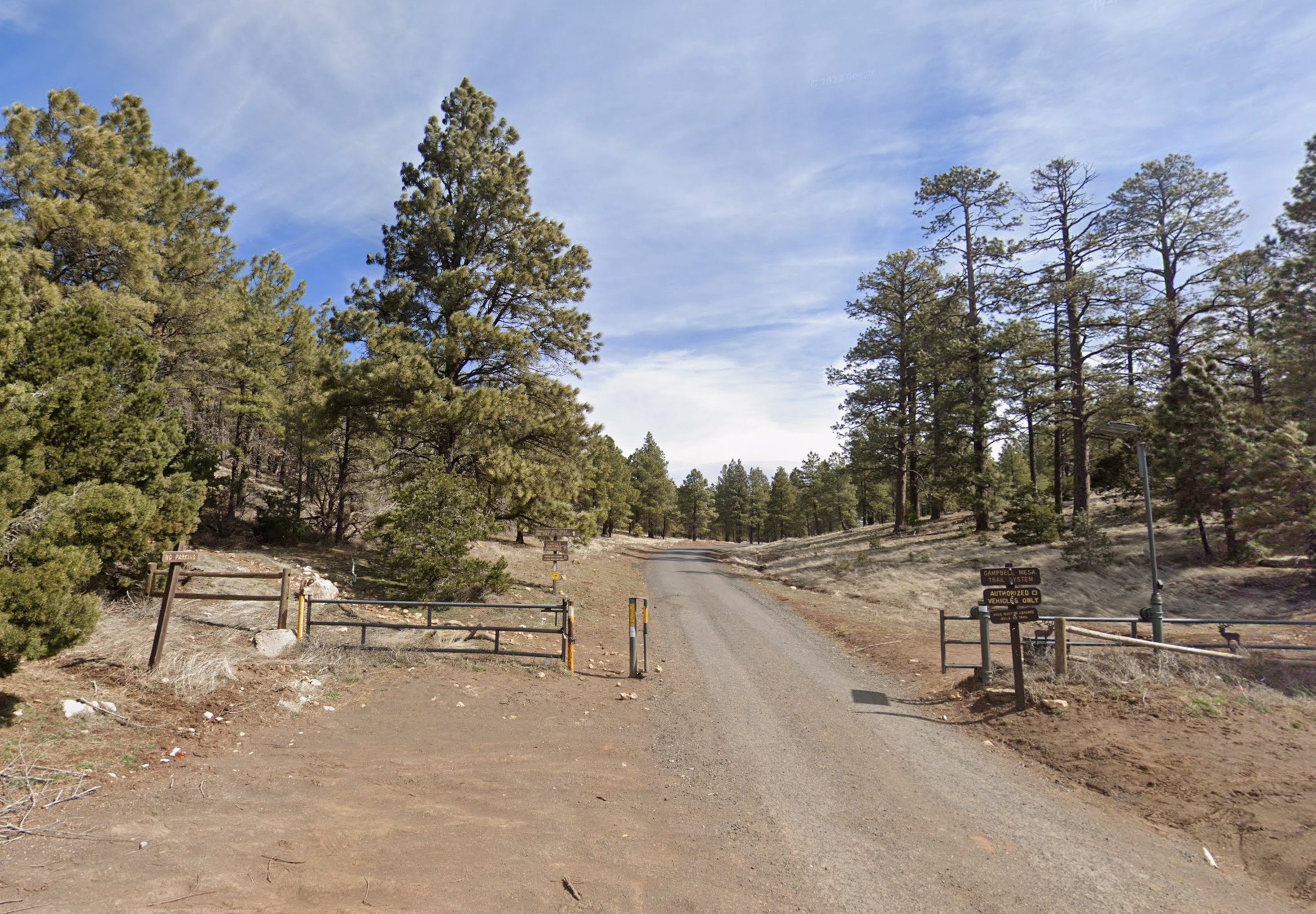
The Campbell Mesa Trailhead is conveniently located just east of central Flagstaff. The area is filled with open forest and meadows that are perfect for fast navigation, with subtle drainages providing a little topographic relief to the area. From the trailhead, a short climb brings participants to the mesa. Once on top of the mesa, there aren't many climbs to challenge the navigation, and participants will need to pay more careful attention to distance and bearing. We hope you'll consider joining us for another navigation outing in the Flagstaff area.
|
Directions
To get to the event site:
|
From the I-17/I-40 Interchange:
|
-
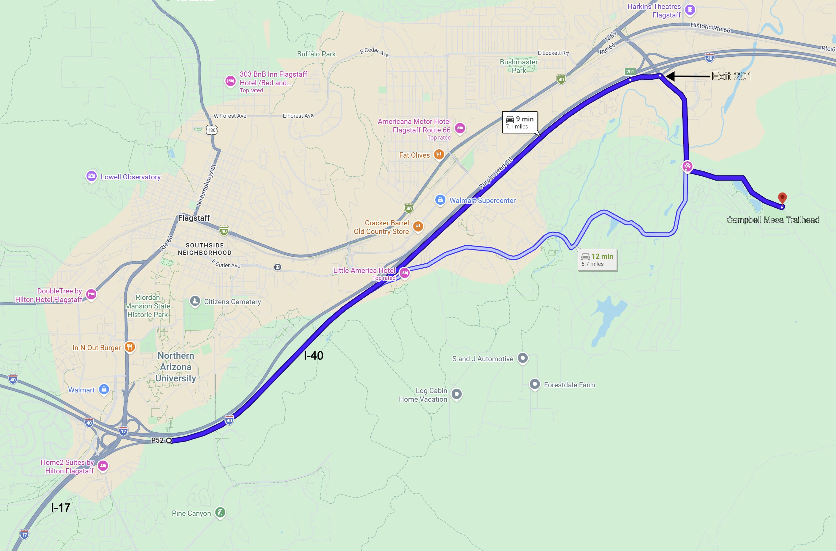
Travel east on I-40 5 miles to exit 201 (89 North to Page).
-
Turn right (south) onto North Country Club Drive and travel 0.9 miles to East Old Walnut Canyon Road.
-
Turn left (east) onto East Walnut Canyon Road and travel 0.9 miles to the Campbell Mesa Trailhead. The trailhead is on the left (north) side of the road.
|
Maps
Click on a map below to open an equivalent Google map in a separate window.
|
From the I-17/I-40 Interchange
|
|
|

![[image:O flag]](../Images/Directions.png) Google Map Directions from the I-17/I-40 Interchange
Google Map Directions from the I-17/I-40 Interchange
![[image:O flag]](../Images/Map_pin_icon.png) Google Map Placemark
Google Map Placemark
![[image:O flag]](../Images/FirstAid.png) Safety Plan
Safety Plan